Noble Canyon Trail – Hiking and Finding Relics of the Past in the Laguna Mountains
Noble Canyon Trail was named after William Noble, who was an early settler in the area during the 1800s. He
Read More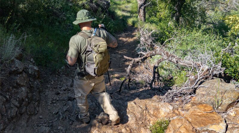
Noble Canyon Trail was named after William Noble, who was an early settler in the area during the 1800s. He
Read More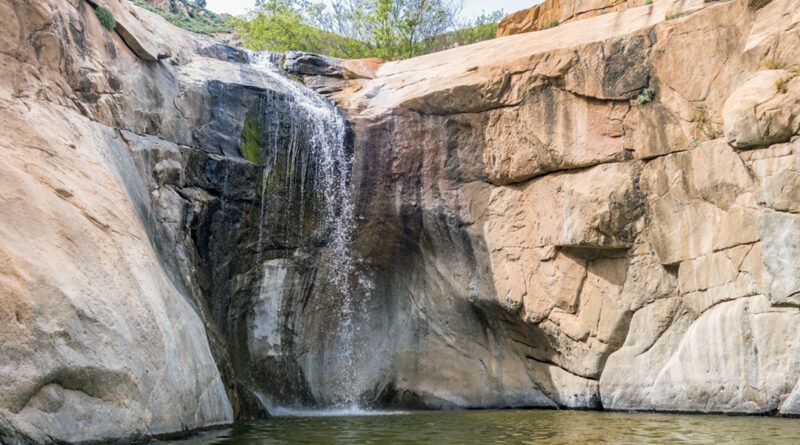
Last summer a friend and I decided to hike Three Sisters Falls. We chose the absolute worst time of year to make the trek and we were disappointed, but not surprised, to find that the falls were dry…
Read More
Most of the trails I’ve hit recently, including Middle Peak, Pine Mountain, Lawson, and Gaskill Peak, have all tested me
Read More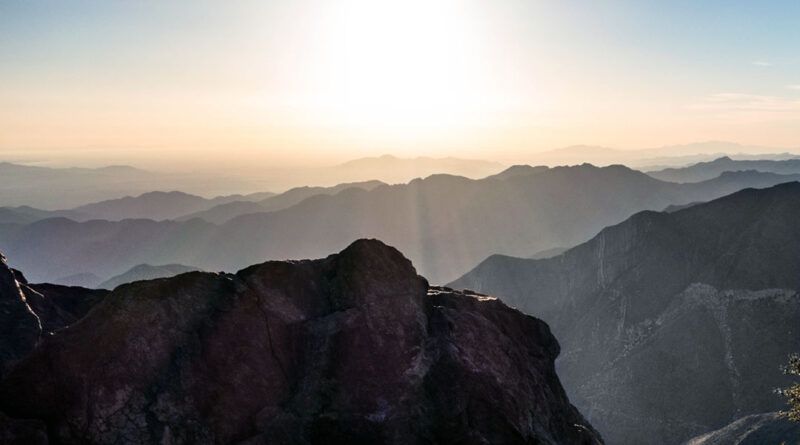
If you’re looking for a moderate hike with breathtaking panoramic views of San Diego County, look no farther than Garnet
Read More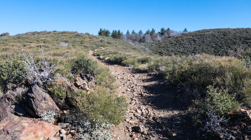
If you’ve been following my hikes, you’re likely aware that I’ve been tackling San Diego’s Highest Peaks. On Monday, I
Read More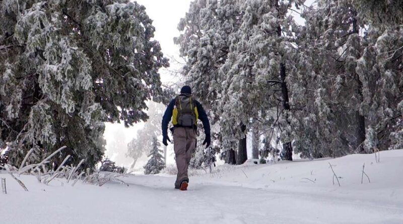
Introduction Over the last couple of years, I have been putting together an effective system of cold-weather hiking clothes. I
Read More
Hiking Viejas Mountain Trail The hike to the summit of Viejas Mountain trail begins with a steep 1.5-mile ascent from
Read More
McGinty Mountain trail is a fun, challenging hike with rewarding panoramic views that don’t require setting aside an entire day.
Read More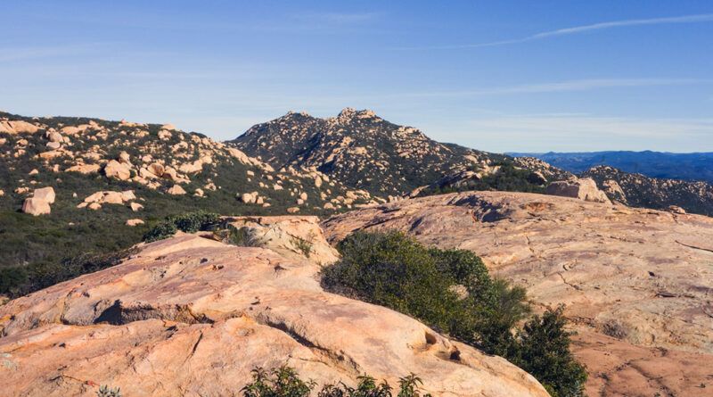
Gaskill Peak and Lawson Peak are known for their challenging ascents and rewarding views. They share much of the same
Read More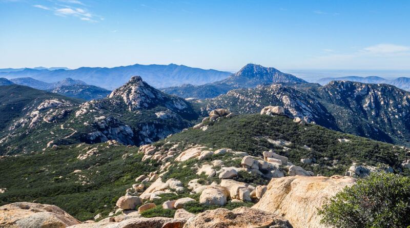
Lawson Peak is a hike you do for the challenge, not simply to get out in nature. The scramble to
Read More