El Cajon Mountain Trail: San Diego’s “Toughest” Hike is Waiting for You
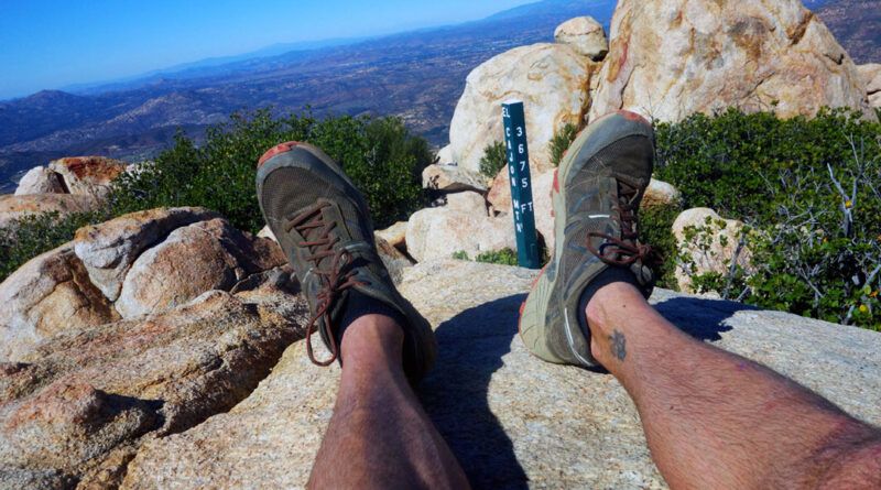
Are you looking for a challenging and rewarding hike near San Diego? Look no further than El Cajon Mountain, a.k.a.
Read More
Are you looking for a challenging and rewarding hike near San Diego? Look no further than El Cajon Mountain, a.k.a.
Read More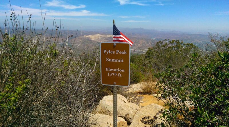
While Cowles Mountain Trail is a popular destination for hikers, the challenge alone can fall short for some. Fortunately, a
Read More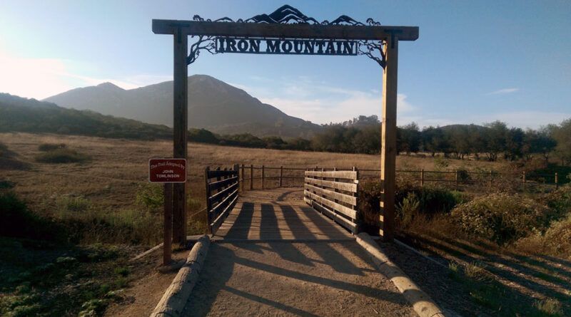
When it comes to views of the local mountains, the view from the summit of Iron Mountain Trail in San Diego
Read More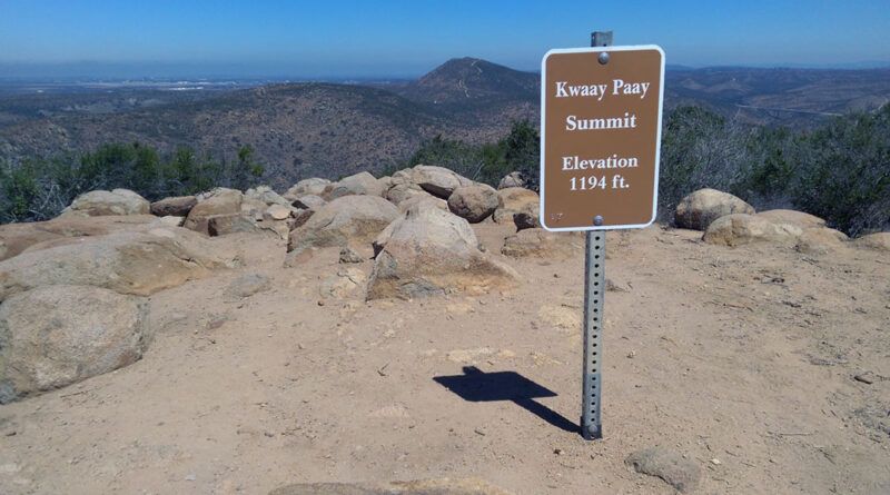
Kwaay Paay Peak Hike is a challenging hike with a quick ascent that takes you through a forest of manzanita
Read More
About the South Fortuna Trail Hike Mission Trails Regional Park is home to five of the highest peaks in the
Read More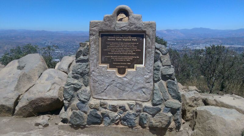
Cowles Mountain Trail is one of San Diego’s most popular hikes, second only to Torrey Pines. It earned its reputation
Read More