Noble Canyon Trail: Exploring the Laguna Mountains in San Diego
San Diego’s outdoors scene boasts a treasure trove of stunning trails, and nestled in the heart of the Laguna Mountains is the challenging yet immensely rewarding Noble Canyon Trail. This rugged 13.9-mile loop is a haven for hikers seeking an exhilarating adventure.
RELATED: Noble Canyon Trail – Hiking and Finding Relics of the Past in the Laguna Mountains
Trailhead Information and Facilities
Accessing the Noble Canyon Trail is a breeze using the Penny Pines trailhead off the Sunrise Highway. Parking here requires an Adventure Pass, which is obtainable from the Cleveland National Forest office or local outdoor retailers. While the trailhead doesn’t offer facilities, some amenities are available nearby for your last-minute needs.
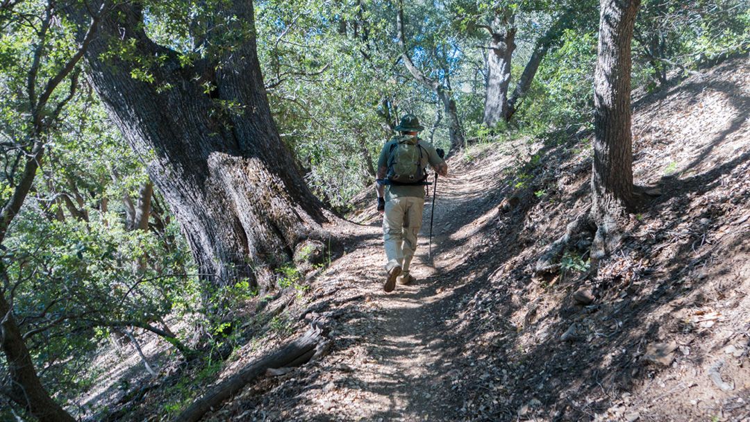
About Noble Canyon Trail
Noble Canyon Trail presents an enchanting blend of diverse landscapes. As you venture forth, you’ll encounter abandoned mining ruins that whisper tales of the past, set against the backdrop of lush, forested valleys. This trail has earned its ‘Hard’ rating and is best suited for those with a penchant for a challenge. While dogs on leashes are welcome, ensure your furry friend is up to the challenge before starting the demanding trek.
At 13.9 miles, the hike typically takes around 6 hours to complete, offering a substantial elevation gain of 2,852 feet. With a peak elevation of 5,584 feet, you’ll have the chance to soak in views of the forest around you before diving down into the valley.
Hiking Noble Canyon Trail
Embarking on this Noble Canyon adventure requires a little careful navigation. For the smoothest experience, consider downloading a trail map or using a hiking app on your smartphone. To enhance your experience, consider starting early in the day, allowing ample time to relish the journey.
What to Expect on Noble Canyon Trail
The trail’s steep and rugged topography defines its character and promises a challenge for seasoned hikers. Packing the essentials, like sunscreen, sturdy footwear, and plenty of water, is a must on this hike. Depending on the season, you may find the creek is flowing and suitable for refilling your water supply. The creek is seasonal, however, so it’s best not to rely on it for your primary hydration needs.
Noble Canyon Trail isn’t just about the physical feat—it’s an opportunity to witness the wonders of nature up close. Keep an eye out for the rich biodiversity that graces the path, and don’t forget to pause and take in the awe-inspiring views that unfold before you.
The trail comes to life late fall through spring when the weather is cooler. The vibrant foliage and crisp air add a layer of magic to this already enchanting experience.
When to Go
- Fall
- Spring
- Winter
What to Bring & Wear
- Adventure Pass is required in most areas around Cleveland National Forest
- At least three liters of water
- Topographic map
- Hiking shoes or boots with plenty of traction
- Sunscreen & hat