South Fortuna Peak via South Fortuna Mountain Trail
Mission Trails Regional Park is located in the heart of San Diego, California, and offers a haven for outdoor enthusiasts
Read More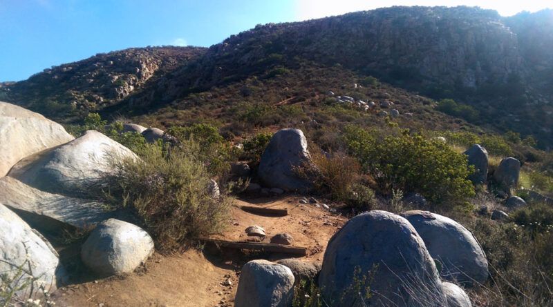
Mission Trails Regional Park is located in the heart of San Diego, California, and offers a haven for outdoor enthusiasts
Read More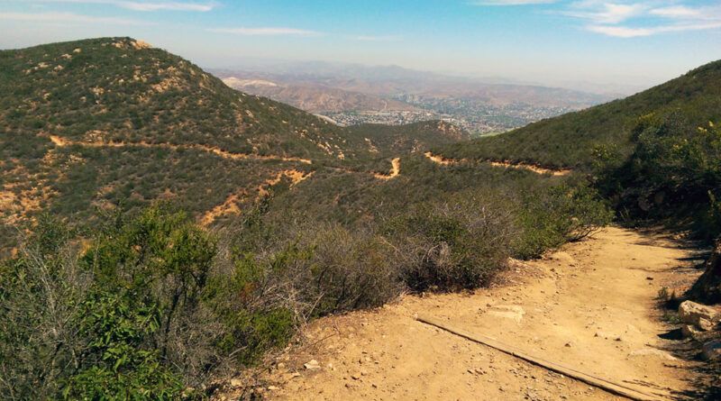
San Diego is a treasure trove for outdoor enthusiasts, boasting a variety of hiking trails with breathtaking views. Among these
Read More
San Diego, CA is a haven for outdoor enthusiasts, and Mission Trails Regional Park is a testament to this. Within
Read More
San Diego’s outdoors scene boasts a treasure trove of stunning trails, and nestled in the heart of the Laguna Mountains
Read More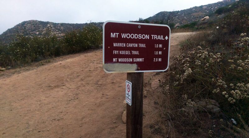
San Diego, CA offers a variety of stunning hiking trails – not least among them is the Mount Woodson trail
Read More
McGinty Mountain is Located in the sprawling 12,000+ acre expanse of the San Diego National Wildlife Refuge. Although its 2,183-foot
Read More
Los Penasquitos Canyon Preserve is a nature lover’s paradise in the heart of San Diego. This hidden gem offers an
Read More
Nestled within the heart of San Diego, Lawson Peak Trail offers an outdoor adventure that promises to leave you breathless
Read More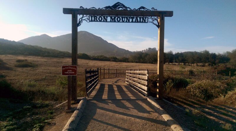
Situated in the heart of Poway, San Diego, the Iron Mountain Trail invites nature enthusiasts to indulge in its beauty
Read More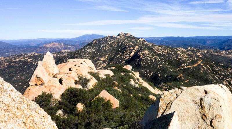
Tucked away in the heart of San Diego, Cleveland National Forest presents a hidden gem to outdoors enthusiasts, Lawson Peak
Read More