McGinty Mountain Trail via Jamul Dr – Hiking for Peaks and Valleys Galore!
McGinty Mountain trail is a fun, challenging hike with rewarding panoramic views that don’t require setting aside an entire day. The steep trail takes you quickly up the mountain’s face and through some of the most diverse and rare plant life in San Diego.
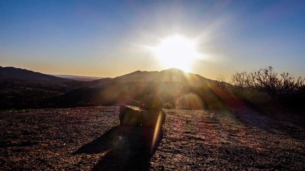
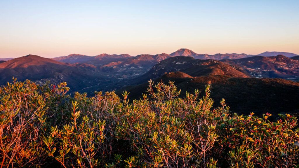
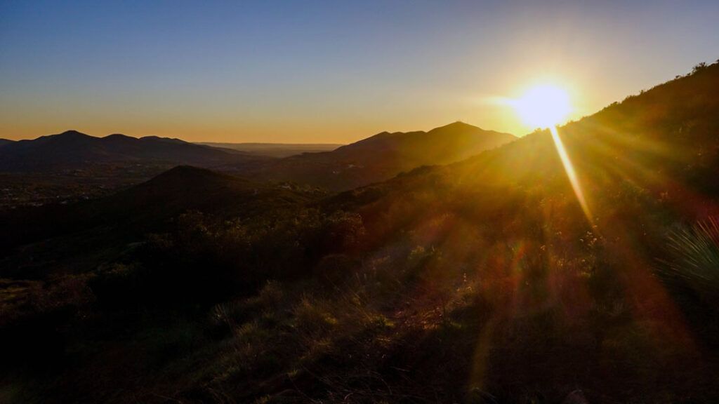
The trail offers an endless supply of photo opportunities and scenic outlooks that vary as you ascend toward the summit. On a clear day, the summit offers mesmerizing views of vast, scenic, rolling hills, mountain peaks, and deep valleys.
This is a great hike for just about anyone with an adventurous spirit, a good pair of hiking shoes, and a couple of hours to spare.
RELATED: McGinty Mountain Trail in San Diego’s National Wildlife Refuge
Setting Out from the Trailhead
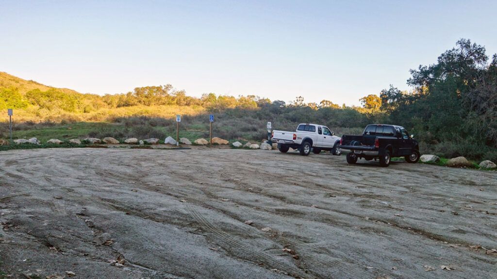
The hike to the summit of McGinty Mountain starts at the parking lot trailhead on Jamul Dr.
The signage notifying visitors to stick to the beaten path should be paid attention to. Once you leave the trailhead, there are no signs or trail markers, and the trail has numerous connecting paths, making it easy to lose the summit trail. Pay attention to the turns you make and stick to the widest trail and you should find your way to the summit without any trouble.
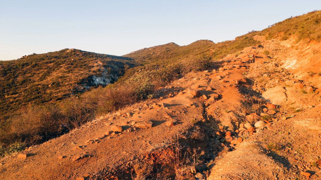
Upon leaving the trailhead, you begin a 1400 ft. ascent to the summit. A series of tight switchbacks guide you up the southwest face of the mountain and out of the valley. For the first mile, each step you take delivers better views than the last until you finally reach a fork in the trail.
By following the trail to the right, you will be rewarded with the first of many truly amazing views of the surrounding mountains and valleys.
To continue your adventure to the summit, take a left at the fork.
So Many Choices, So Little Time
While hiking up the trail, you may encounter several connecting trails. Some hikers have reported finding caves on these side routes. I didn’t have time to explore these routes, but if you’re looking for more adventure, consider taking one of them.
There are a few false summits along the way, but don’t be discouraged. Keep going and you’ll reach the true summit soon.
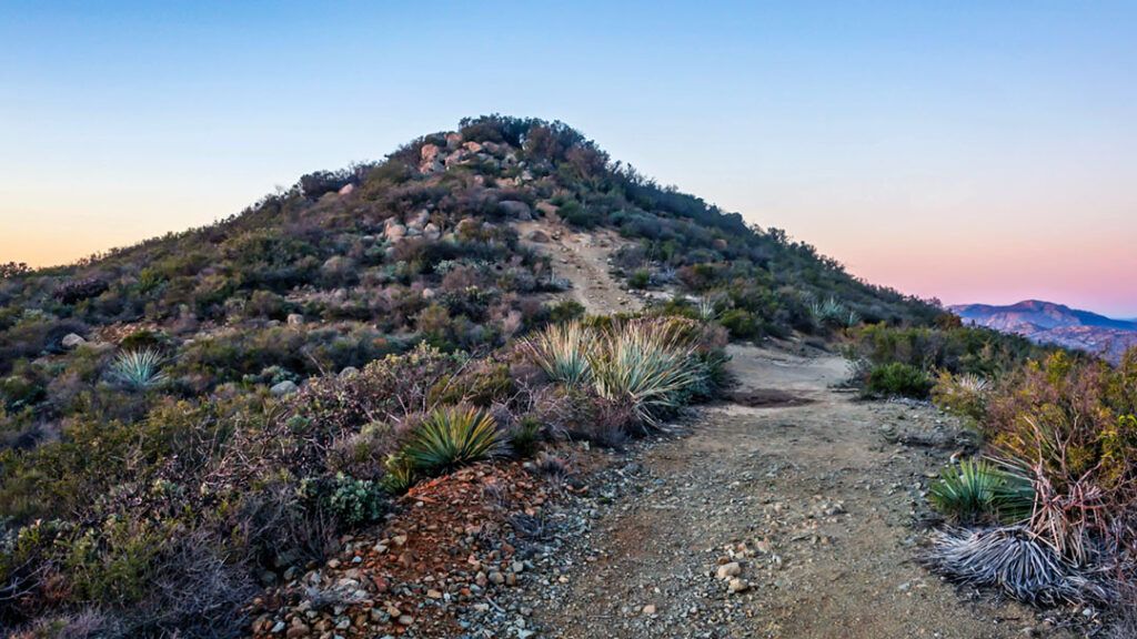
After crossing over a ridge at around the 2 to 2.25-mile mark, you’ll see McGinty Peak, as well as two other peaks farther off in the northeast direction. From here, continue towards the summit for the final ascent.
The Final Ascent to the Summit
As you approach the top of the hill, you’ll come across a connecting trail to your right. Instead, take a left and cross over the last peak before reaching the summit. The summit is easily visible from the trail as a large pile of boulders. Once you reach the top, find a comfortable boulder to rest on and enjoy the panoramic views.
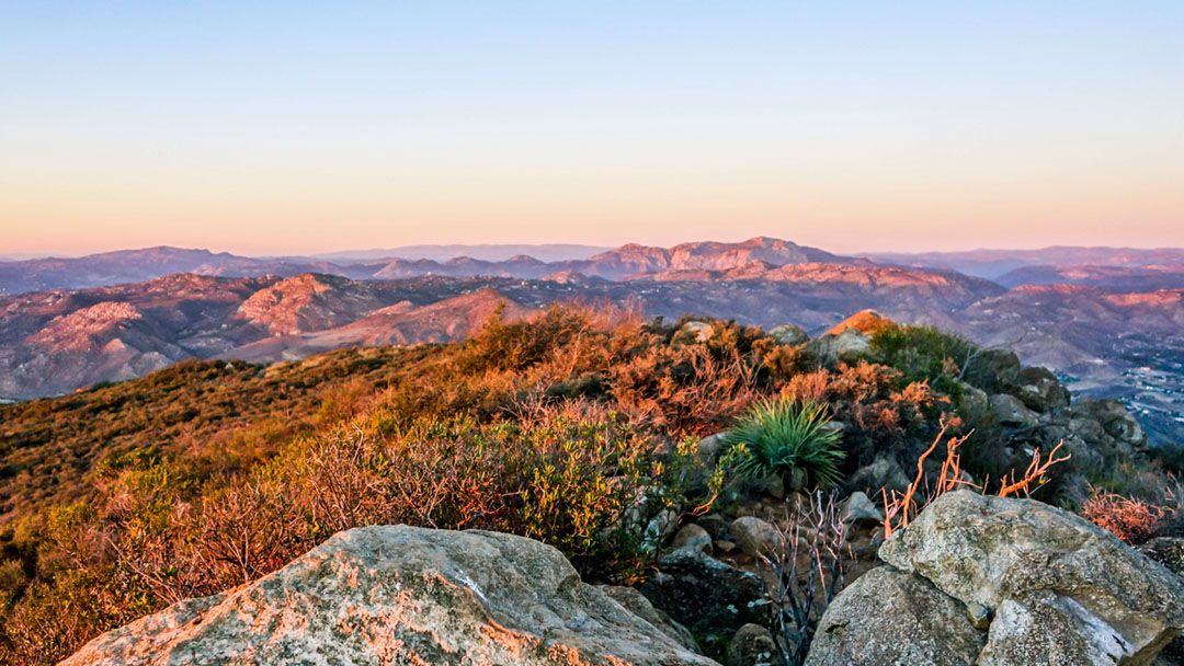
Enjoy the Views From McGinty Mountain
On a clear day, you’ll see Tecate Peak and Otay Mountain towering over the Mexican border to the south.
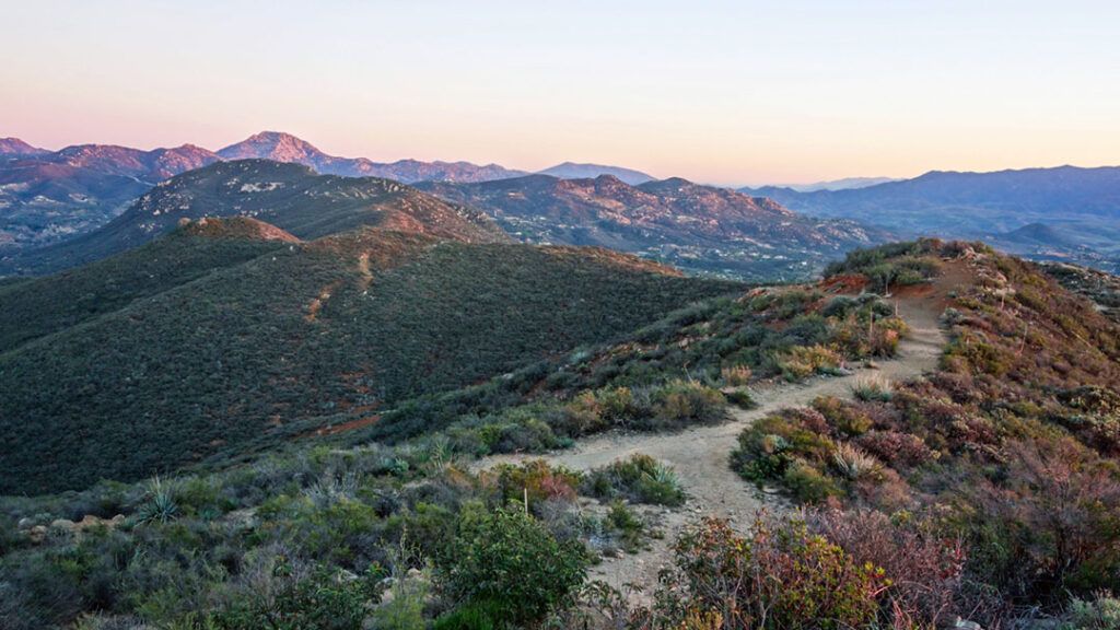
Scan east from north to south across the valleys and mountains for a look at the many peaks that make up Cleveland National Forest.
And to the west, San Miguel Mountain stands between you and the ocean in the distance, with Cowles Mountain visible to the northwest.
Conclusion
McGinty Mountain trail is an adventure that offers hikers of all levels a chance to explore its trails and take in breathtaking views of the surrounding landscape. Whether you’re an experienced hiker or just starting, this mountain has something for everyone. From its diverse plant and animal life to its hidden caves and panoramic vistas, the trail to the summit is an adventure that you won’t want to miss. So, the next time you’re looking for a day hike in San Diego, be sure to add McGinty Mountain to your list – you won’t be disappointed!
Tips
- There are no facilities or trail signage at this location
- Wear a good pair of hiking shoes or trail runners
- Make time to explore the side trails, and make me jealous
- Reserve closes at sunset, so plan accordingly