Stonewall Peak via Paso Picacho Campground in Cuyamaca
Cuyamaca Rancho State Park, nestled in the heart of San Diego, California, is a paradise for outdoor enthusiasts. Stunning landscapes and trail variety make it a top destination for those in search of nature and adventure. Among the park’s highlights is Stonewall Peak, a gem that treats hikers to both a delightful journey and awe-inspiring vistas.
RELATED: Three Sisters Falls – A Springtime Reunion Waterfall Hike
Trailhead Information and Facilities
The trailhead for Stonewall Peak is conveniently located at the Paso Picacho Campground. There’s ample parking available, ensuring a hassle-free start to your hike. A nominal day-use fee grants easy access to all the surrounding trails upon entering the campground. Facilities, from restrooms to picnic areas, are conveniently located within the campground.
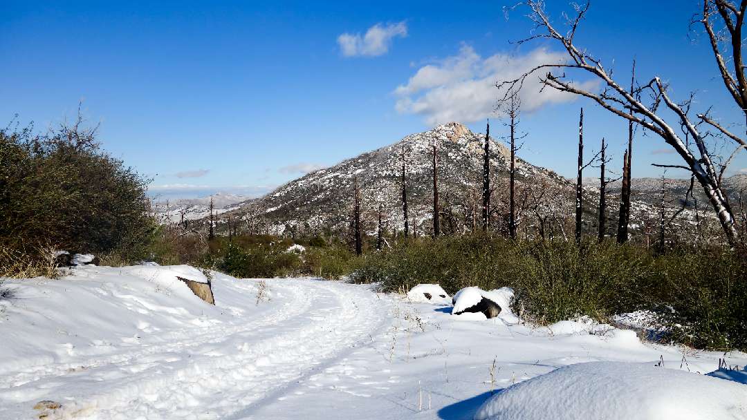
About Stonewall Peak
The trail leading to Stonewall Peak presents a well-maintained series of switchbacks ascending the mountain’s western face. This path serves as an ideal introduction to the wonders of Cuyamaca Rancho State Park. The hike is relatively gentle, catering to a wide range of outdoor enthusiasts, from novices to seasoned trekkers. Covering a round-trip distance of 4 miles with an elevation gain of approximately 1100 feet, this hike assures a gratifying experience without being overly strenuous.
Leashed dogs are welcome within the campgrounds and on paved paths, but they are not permitted on the trails. So plan your furry friend’s adventure accordingly.
Hiking Stonewall Peak
The trailhead is located across the highway from the campground. Follow the trailhead markers, and you’ll soon find yourself immersed in the natural splendor of Cuyamaca Rancho State Park. The path winds through a diverse landscape, ranging from lush vegetation to rugged outcrops. The trail is well-traveled and easy to follow, leaving you free to enjoy the changing views as you ascend.
To get the most out of your Stonewall Peak hike, be sure to wear sturdy footwear and carry plenty of water. Late fall through spring is the optimal time for this adventure, as the weather typically lends itself to hiking. Be sure to carry essentials such as sunscreen and a hat to shield yourself from the California sun.
What to Expect on Stonewall Peak
Stonewall Peak treats hikers to a diverse terrain, transitioning from smooth trails to rocky inclines. As you ascend, the landscape transforms, offering a visual feast of San Diego County and even distant peaks like Mount Baldy and Mount San Jacinto.
The hike to Stonewall Peak in Cuyamaca Rancho State Park encapsulates the essence of California’s natural beauty. Its accessibility, moderate difficulty, and breathtaking views make it an must-visit for anyone seeking a memorable outdoor adventure.
When to Go
- Fall
- Spring
- Winter
What to Bring & Wear
- At least one liter of water
- Hiking shoes or boots with plenty of traction
- Sunscreen & hat